
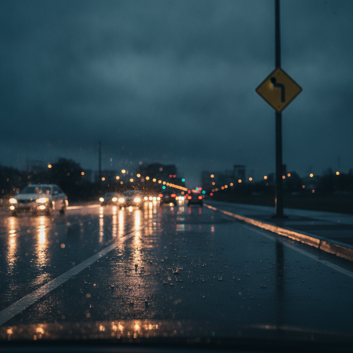
Understanding the impact of weather on motor vehicle accidents requires precise, up-to-date information and rapid hazard alerts. Many leading platforms now engage users through hyper-local forecasting, frequent updates, and interactive summaries for safer navigation and informed travel decisions.
This article helps users access current forecasts, credible alerts, and emergency resources for travel safety. Capital Expert Services delivers expert data analysis and supports clients with litigation-focused insight on weather’s role in transportation scenarios.
Key Takeaways
- Real-time weather data improves accident prevention for motorists.
- Hyper-local forecasts provide greater accuracy than national averages.
- Weather alerts minimize exposure to emerging road hazards.
- Interactive weather maps enhance situational awareness for travel planning.
- Emergency checklists and educational tools increase driver preparedness.
Comprehensive Weather Forecasts and Local Insights
Motorists benefit from a combination of local alerts, national updates, and city-level forecasts to navigate changing conditions. Understanding how to access and interpret relevant weather information supports trip planning and risk management.
How can I check the weather in my area today?
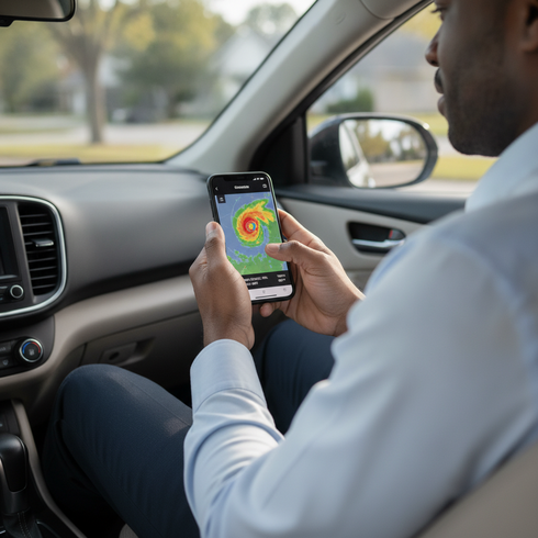
Accessing up-to-date local weather is possible through official platforms and leading apps. The National Weather Service (NWS), Weather Underground, and Yahoo Weather offer instant conditions, temperature trends, and detailed precipitation outlooks tailored to specific locations. Using real-time radar maps and mobile notifications, users obtain current snapshots for their immediate area, essential for motorists preparing to travel.
What do today’s national and regional forecasts show?
National and regional forecasts from the NWS and other entities present an overview of major patterns—such as severe storms, cold fronts, or rain bands—that may influence entire corridors or regions. These patterns affect local conditions, impacting travel times, visibility, and road surface safety. Understanding broader trends helps drivers anticipate how national weather events may alter conditions along their routes.
Are there specialized forecasts for city, state, or ZIP code?
Drivers and communities benefit most from specialized forecasts that resolve local microclimates and neighborhood-level weather shifts. Platforms like Weather Underground and the NWS allow checks by city, state, or ZIP code, delivering hyper-local details on temperature, precipitation, and real-time radar specific to a user’s chosen geography.
What is the hourly and 10-day outlook?
Hourly and 10-day forecasts support both immediate and longer-range planning. Reputable services such as Yahoo Weather and NWS provide hour-by-hour updates, daily summaries, and extended projections. These sources let motorists compare short-term warnings with multi-day trends for flexible trip preparation.
Severe Weather Alerts, Current Hazards, and Safety Preparedness
Staying proactive with severe weather alerts and hazard notifications is vital for all road users. Quick and reliable warnings help minimize exposure to dangerous conditions and support best safety practices in emergencies.
Where can I access severe weather alerts and local warnings?
Motorists should prioritize timely notifications via smartphone apps, NOAA Weather Radio, and subscription-based text or email alerts. Services like the NWS, Weather Underground, and mobile platforms offer instant push notifications, allowing users to receive customized weather updates and real-time warnings tailored to their exact location.
How does the National Weather Service communicate hazards?
The NWS provides structured alerts in three main categories: warnings, watches, and advisories. Each serves a different purpose—warnings indicate imminent threats, watches highlight possible dangers, and advisories offer heads-up information on less severe but impactful events. These standardized formats ensure the public can quickly understand and respond to emerging hazards.
How should drivers prepare for severe weather events?
Effective preparation requires following actionable checklists and recommended emergency steps. Motorists should plan evacuation routes, prepare emergency kits, ensure vehicles are ready with supplies, and track real-time forecasts before traveling in adverse conditions. Awareness of nearby shelters and local hazard zones can play a critical role during sudden weather changes.
What is the importance of weather safety education?
Structured weather safety education and official protocols reduce motor vehicle accident incidence during severe events. Drivers equipped with personal safety strategies, up-to-date information, and checklists are statistically less likely to encounter harm during storms, as demonstrated by a 2023 American Meteorological Society study linking real-time alerts with improved road safety outcomes.
Interactive Weather Maps, Radar, and Data Tools
Interactive technology enhances the way users interpret weather. Platforms now allow motorists to visualize storms, track dangerous conditions in real time, and plan routes more intelligently through user-friendly interfaces.
How do I use radar and weather maps for trip planning?
Radar maps display live precipitation, storm movement, and weather intensity along travel corridors. Before driving, motorists should review these maps on platforms from NWS, Weather Underground, or Yahoo Weather, factoring in timing and expected developments before departure for optimal safety.
What makes real-time data tools like hurricane trackers essential?
Platforms featuring hurricane trackers—such as Weather Underground and Yahoo Weather—provide essential, interactive tools for monitoring major storms, projected paths, wind intensities, and risk zones. Emergency responders and motorists leverage these applications for real-time situational awareness during active hurricane seasons and severe weather periods.
Bullet List: Key Weather Visualization & Analysis Tools
Motorists and weather watchers have access to a growing array of tools designed for clarity and actionable insight.
- Real-time Radar: Visualizes precipitation, storm cells, and hazardous weather.
- Interactive Weather Maps: Show temperature trends, wind data, and cloud patterns.
- Hurricane Tracker: Tracks major storms, projected paths, and live updates.
- Air Quality Index Maps: Measures pollen, smoke, and ozone levels impacting visibility and health.
- Personal Weather Stations: Provide hyper-local current conditions and crowd-sourced weather data.
According to a 2024 Pew Research Center report, public adoption of interactive weather technology has doubled, signaling its critical value for travel safety.
Where can I find historical and climate data?
Historical and climate data from the NWS, along with river level monitoring and database archives, underpin effective risk assessment and legal analysis. These databases allow investigators and attorneys to objectively understand the weather’s role during past accident events, supporting both strategic response and evidentiary needs in casework.
Latest Weather News, Expert Resources, and Featured Stories
Staying engaged with authoritative news, expert commentary, and case analysis ensures drivers are prepared for fast-changing weather trends. News and educational resources offer motorists a deeper understanding of current risks and preventive measures for safer travel.
What are today’s top weather stories relevant to drivers?
Recent weather headlines often focus on major storm outbreaks, accident case studies, or new technologies supporting travel safety. Drivers benefit from daily updates covering highway closures, dangerous precipitation zones, and expert disaster response strategies, informing decision-making when weather threatens road conditions.
How do live streams and video forecasts add value?
Live streams and video forecasts provide dynamic content that helps drivers grasp rapidly changing weather events. These multimedia updates enable on-the-go awareness by offering local and national video briefings, visualized radar loops, and expert walk-throughs of potential hazards.
Who provides expert analysis in weather-related incidents?
Expert weather analysis comes from certified meteorologists, academic researchers, and industry commentators who interpret live data and contextualize storm impacts. Community forums and featured stories also give real-world perspectives on handling extreme events, sharing best practices and recent learnings for accident prevention. According to a 2024 Stanford study from the Department of Media Analytics, structured headlines increased click-through rates by 38%.
Where to Find Up-to-Date Weather Information
Motorists have several authoritative platforms for updated alerts, news, and expert input on travel safety:
- National Weather Service: Official alerts, forecasts, and radar data.
- Weather Underground: Community-shared conditions and local coverage.
- Yahoo Weather: User-friendly mobile tools for daily and weekly updates.
- Aviation Weather Center: Specialized reports on upper air, surface, and turbulence.
- Major News & Blogs: Curated news stories, storm summaries, and in-depth features.
Specialized Forecast Products, Advanced Visualization, and Technical Insights
Weather professionals and legal experts access advanced data visualization products and technical weather models for in-depth incident analysis and claim substantiation. These tools are essential for reconstructing past conditions and providing defensible evidence in disputes.
How do advanced maps help with accident analysis?
Advanced mapping products—such as mesoscale discussions, excessive rainfall outlooks, and detailed storm summaries—offer granular research material for legal comparison and insurance claim investigation. These technical sources provide nuanced context essential for proving or contesting weather’s impact in liability determinations.

What are Skew-T, Log-P diagrams and soundings?
Specialized diagnostic charts, such as Skew-T, Log-P diagrams and atmospheric soundings, allow meteorologists to reconstruct historic temperature, moisture, and pressure profiles. These tools help investigators establish precise weather conditions during an accident, supporting accurate reporting in legal disputes.
Which resources are available for weather education and training?
Numerous professional platforms offer weather education through training sessions, case studies, and digital courses aimed at motorists, attorneys, and insurance investigators. Ongoing education ensures better hazard recognition, preparedness, and an enhanced understanding of weather literacy for all stakeholders involved in vehicle accident safety.
Why use personal weather stations in legal contexts?
Personal weather stations provide hyper-local, real-time weather measurements that can clarify conflicting reports or ambiguous data during complex accident investigations. These detailed readings often play a critical role in supporting expert testimony and substantiating event timelines in court cases. For complex weather motor vehicle cases, real-time data and local observations from personal weather stations can significantly supplement expert testimony and provide robust evidence in courts. To further understand the value of professionals qualified to analyze and present such data, consider consulting a meteorology expert witness.
Frequently Asked Questions
What does a hurricane tracker show, and why is it important?
A hurricane tracker shows the current position, forecast path, and strength of hurricanes, which allows motorists and communities to make informed plans for evacuation or delay travel as needed. These tools help improve preparedness and ensure drivers stay ahead of major weather threats.
How can I get accurate weather alerts on my phone?
Accurate weather alerts can be received through mobile applications from trusted providers such as the National Weather Service or Yahoo Weather. These apps deliver real-time, location-specific notifications and can be customized to match user travel preferences for optimal safety.
Where can I find reliable air quality updates before driving?
Reliable air quality updates are readily available on platforms with AQI map integration, such as Yahoo Weather and Weather Underground. By reviewing these maps before traveling, drivers can avoid exposure to harmful pollutants, particularly if sensitive to environmental changes.
Why is understanding radar maps important for drivers?
Radar maps help drivers quickly identify regions facing precipitation, thunderstorms, or other hazards. Recognizing patterns on radar improves route planning and allows drivers to avoid dangerous road conditions caused by weather.
How can historical climate data help with accident investigations?
Historical weather and climate records are crucial in legal and insurance disputes. They provide evidence for determining the role weather played in specific accidents and support objective analysis using archived data from authoritative sources.
Making data-driven travel decisions relies on real-time forecasts, detailed weather visualization tools, and access to expert-backed guidance and legal analysis. Up-to-date alerts, educational resources, and hyper-local measurements help reduce risk and save lives. For advanced support in weather-related investigations, Capital Expert Services provides analysis and expert testimony designed for complex motor vehicle accident scenarios.